Posts

HISTORY29 - Maps

Image
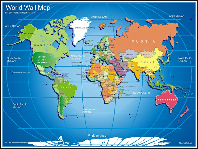
This article is about the history of map making or cartography.   Over the last 15 years, I’ve been writing about the history of my hometown Tucson, the state of Arizona, the United States, North America, and much of the rest of the world.   Maps have been key to my research and writing; I now really appreciate the relationship of maps to the history of the world.   I also have been personally passionate about maps for many years.   So, I concluded that it was time to talk about maps, and their history.   Maps have been used for thousands of years for many different purposes including helping ancient man grasp the idea of an unknown world, with himself at the center; plotting the location of towns and objects in one’s local area, then extending to much larger areas as knowledge of other places on earth expanded, sometimes augmented with the tales of travelers; early Christian maps that showed how the story of Christ penetrated the world; navigation for sea v...
HISTORY28 - West Indies

Image
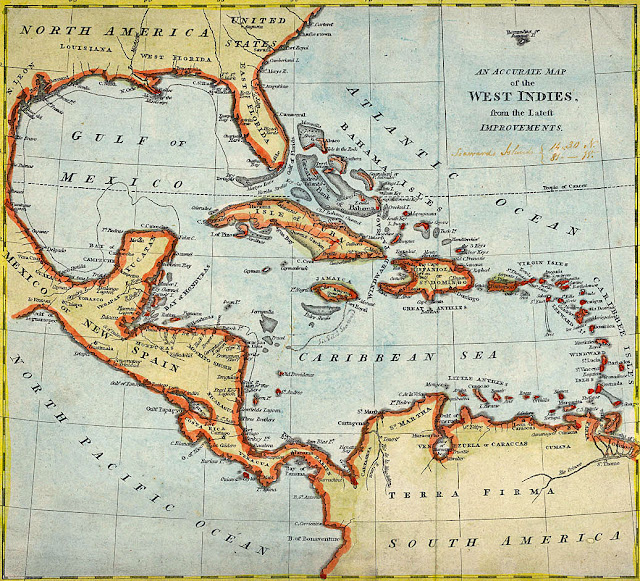
This article is the history of West Indies (sometimes called the Caribbean Islands), including a discussion of the natural landscape, the pre-Columbian period, European exploration and colonization, the West Indies since the 1790s, and the West Indies today.   My primary source for this article was “West Indies” - Britannica Online Encyclopedia, supplemented by numerous other online sources. Map of West Indies, 1810. Natural Landscape The West Indies are a crescent-shaped group of over 7,000 islands and islets, stretching over 2,000 miles from the Florida peninsula south-southeast to the northern coast of Venezuela.  These islands include active volcanoes, low-lying atolls, raised limestone islands, and large fragments of continental crust containing tall mountains and rivers.  The total land area of the West Indies is 106,300 square miles.  The highest point in the West Indies is Rico Duarte peak in the Dominican Republic at 9,843 feet.  ...