Posts

HISTORY30 - Antarctica
Image
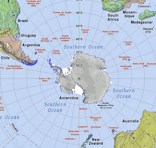
  This article is about the history of Antarctica.   My previous articles on the history of various places in the world, and the history of maps, showed me that I knew virtually nothing about Antarctica.   It’s time to correct that. Map of the southern hemisphere showing Antarctica in relation to the closest other continents.     My primary source for this article is Antarctica / History, Animals & Facts / Britannica , supplemented with numerous other online sources. Natural Landscape Antarctica is the world’s fifth largest and southernmost continent.   It is also the world’s highest, driest, windiest, coldest, and iciest continent. Antarctica is about 5.5 million square miles in size, and thick ice covers about 98 percent of the land.     The average elevation of Antarctica is about 7,200 feet, with the highest peak, Mount Vinson, in the Ellsworth Mountains, at 16,050 feet.   The continent is divided into East Antarctic...
HISTORY29 - Maps

Image
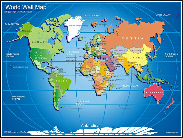
This article is about the history of map making or cartography.   Over the last 15 years, I’ve been writing about the history of my hometown Tucson, the state of Arizona, the United States, North America, and much of the rest of the world.   Maps have been key to my research and writing; I now really appreciate the relationship of maps to the history of the world.   I also have been personally passionate about maps for many years.   So, I concluded that it was time to talk about maps, and their history.   Maps have been used for thousands of years for many different purposes including helping ancient man grasp the idea of an unknown world, with himself at the center; plotting the location of towns and objects in one’s local area, then extending to much larger areas as knowledge of other places on earth expanded, sometimes augmented with the tales of travelers; early Christian maps that showed how the story of Christ penetrated the world; navigation for sea v...