Posts

HISTORY28 - West Indies
Image
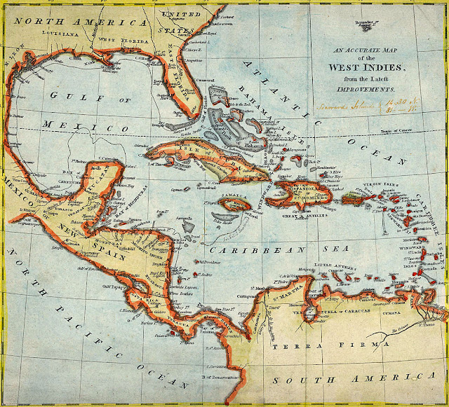
This article is the history of West Indies (sometimes called the Caribbean Islands), including a discussion of the natural landscape, the pre-Columbian period, European exploration and colonization, the West Indies since the 1790s, and the West Indies today.   My primary source for this article was “West Indies” - Britannica Online Encyclopedia, supplemented by numerous other online sources. Map of West Indies, 1810. Natural Landscape The West Indies are a crescent-shaped group of over 7,000 islands and islets, stretching over 2,000 miles from the Florida peninsula south-southeast to the northern coast of Venezuela.  These islands include active volcanoes, low-lying atolls, raised limestone islands, and large fragments of continental crust containing tall mountains and rivers.  The total land area of the West Indies is 106,300 square miles.  The highest point in the West Indies is Rico Duarte peak in the Dominican Republic at 9,843 feet.  ...
HISTORY27 - Central America

Image
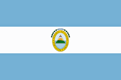
This article is about the history of Central America, including a discussion of the natural landscape, the pre-Columbian period, the Spanish Conquest, independence from Spain, the short period of united provinces, the establishment of independent republics, the liberal period, the period since World War II, and Central America today.   The article is a follow-on to previous articles on the history of Canada, America, Mesoamerica, and Mexico that I have posted on this blog in the past few weeks.   The flag of the United Provinces of Central America, 1823-1841. Central America is the southernmost region of North America, making up most of the tapering isthmus that separates the Pacific Ocean, from the Caribbean Sea, and comprising the republics of Belize, Guatemala, Honduras, El Salvador, Nicaragua, Costa Rica, and Panama.   The histories of Guatemala, Honduras, El Salvador, Nicaragua, and Costa Rica are heavily intertwined, so I chose an organization of this article ...