HISTORY31 - South America: Part 1 - Pre-Columbian
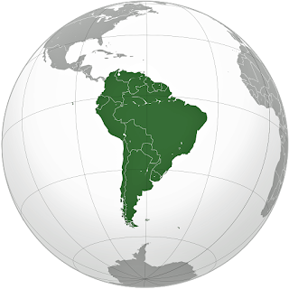
This, and my next two articles, complete a series of histories of the major countries and continents in the Western Hemisphere. This is Part 1 of the history of the continent of South America, covering geologic evolution through pre-Columbian civilizations. Part 2 will cover European colonization. Part 3 will cover the independence period through today. Introduction South America is the world’s fourth largest continent after Asia, Africa, and North America, with a land area of 6,890,000 square miles. It is bordered on the west by the Pacific Ocean and on the north and east by the Atlantic Ocean. North America and Caribbean Sea lie to the northwest, with Antarctica to the south. The continent was named in 1507 by cartographers Martin Waldseemuller and Mathias Ringmann after Amerigo Vespucci, who was the first European to suggest that the Americas were not the East Indies, but a new World, unknown to Europeans. South America is a continen...